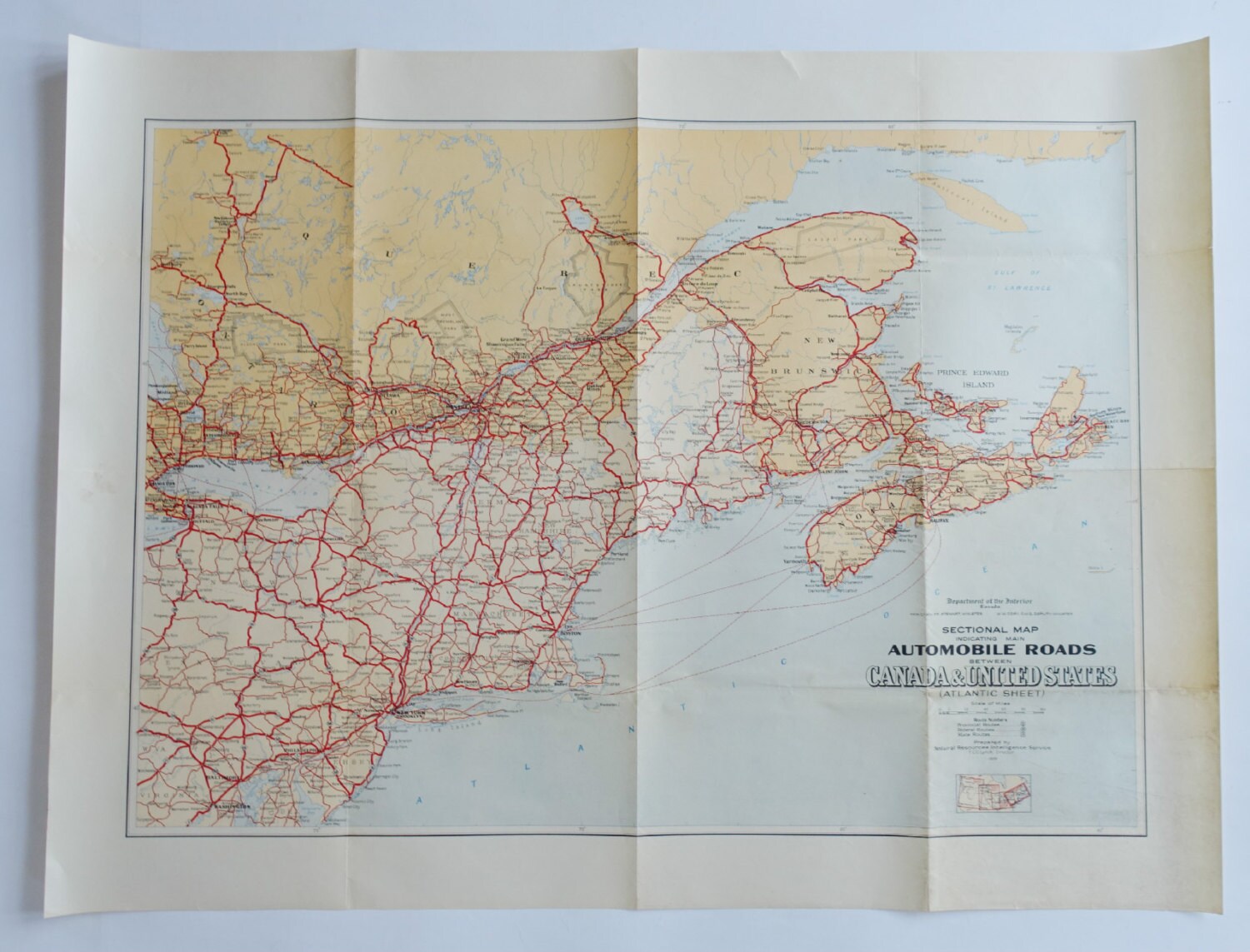
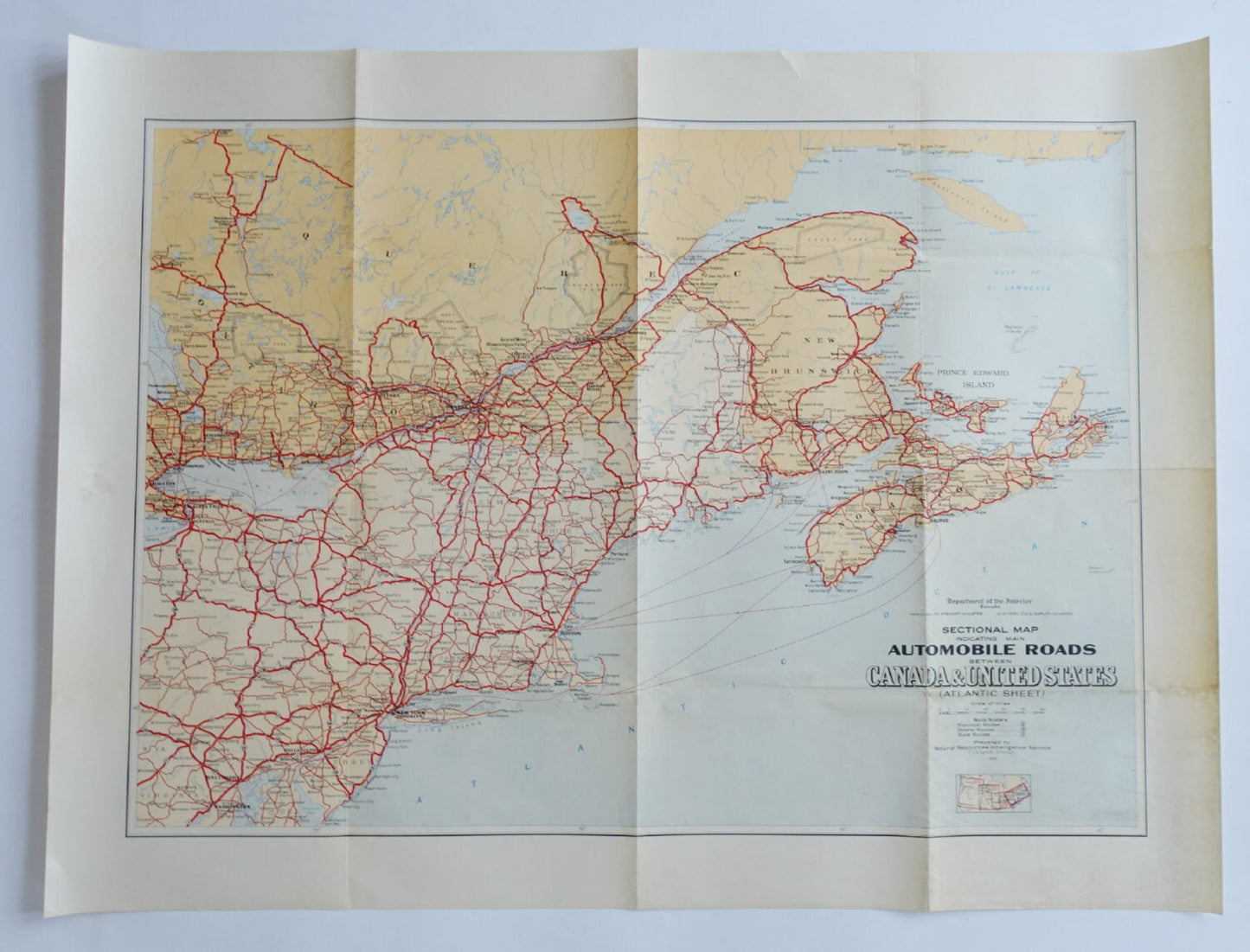
A great and well preserved map from the dawn of the automobile!
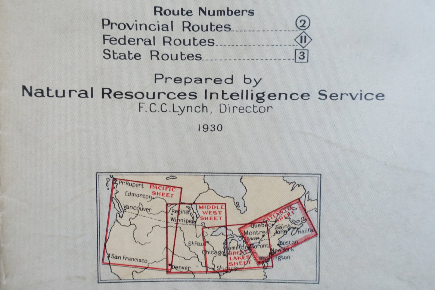
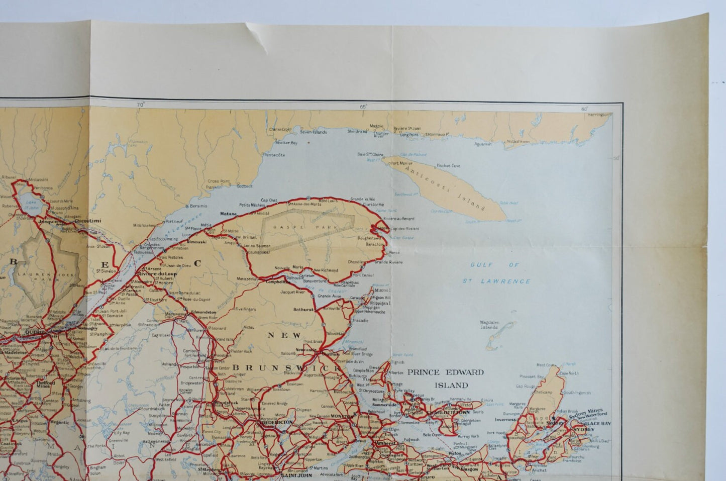
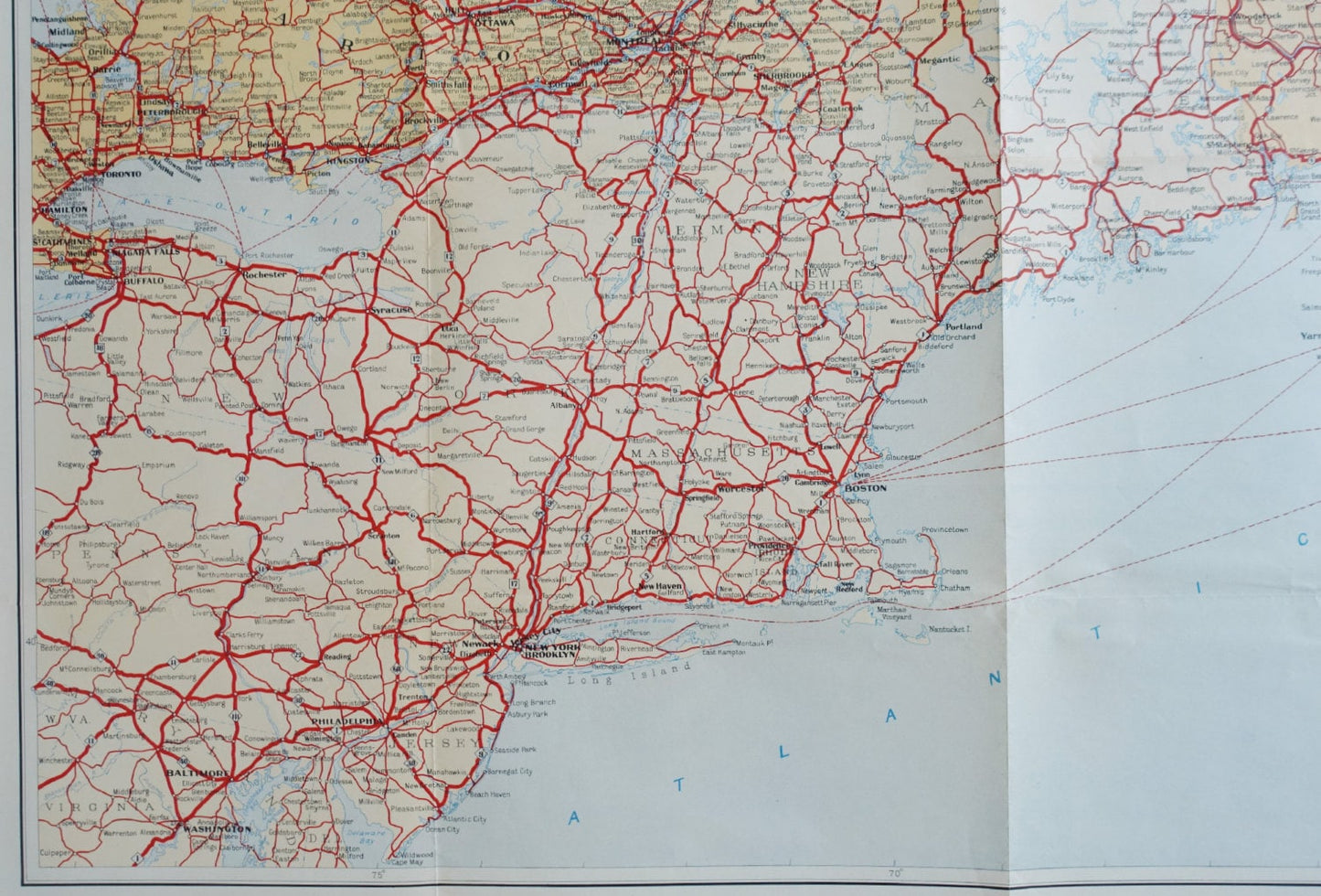
This map is surely one of the first international maps made for the use of automobiles only and displays the major road connections between Canada and United States on the Atlantic side. The poster is also known as the "Atlantic Sheet" where the national routes are shown as well.
This map was made long time before the Interstates Highway System was proposed by President Dwight D. Eisenhower in 1956, and completed 35 years later. The network has since been extended, and as of 2012, it had a total length of 47,714 miles (76,788 km).
This is by far one of the most interesting road maps I have come across (and I use to study cartography) and even while the GPS has been available for a long time this map will be great as a special and unique wall decor.
Condition: Good condition - light signs of use, a smaller tear in the top and some ageing related defects like tiny spots and discoloration - please see pictures.
Country: USA
Thanks for watching and please let me know if you have any questions.